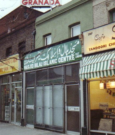
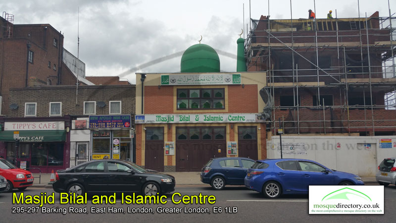
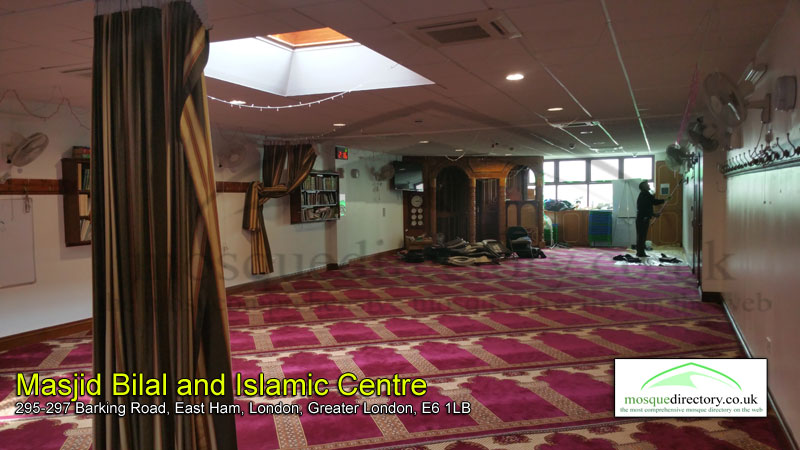
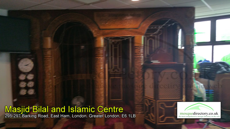
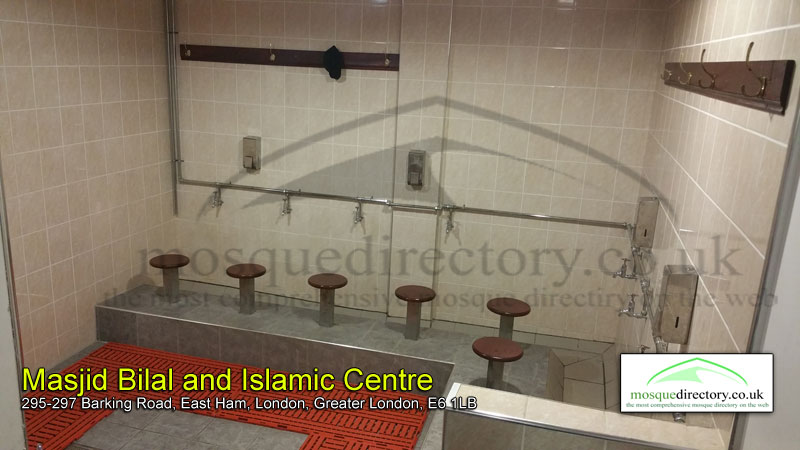
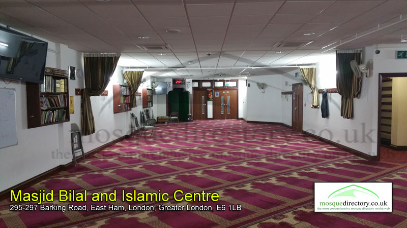
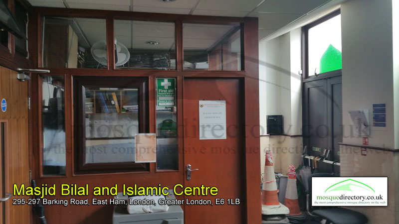
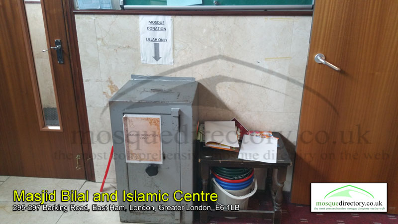
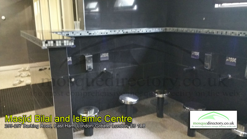
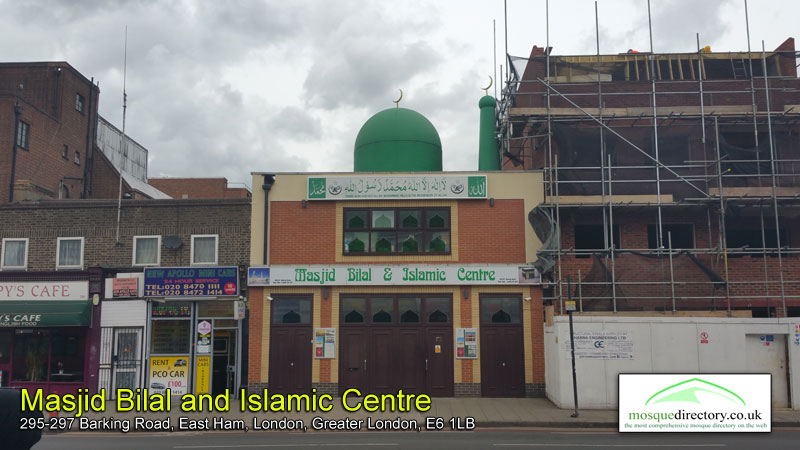
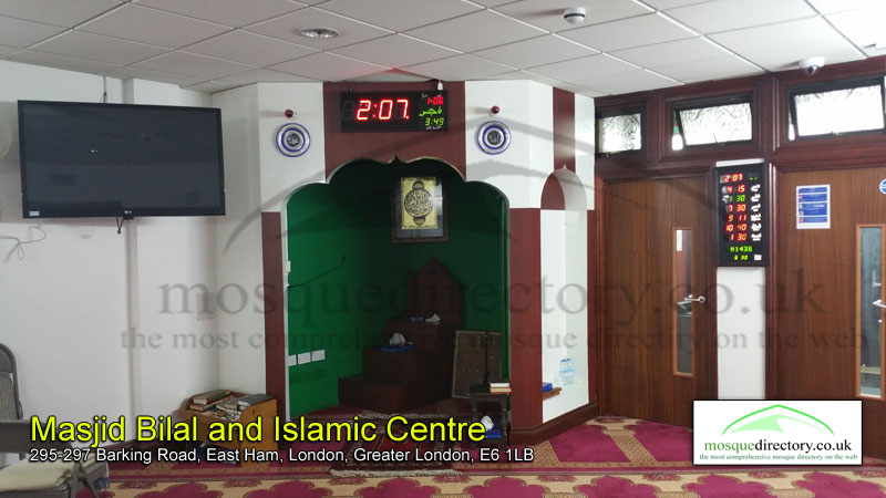
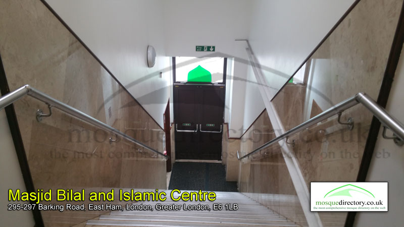
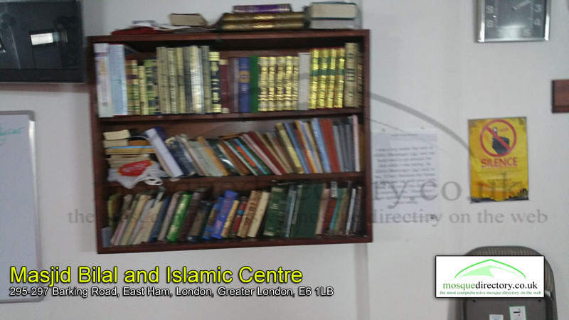
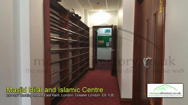
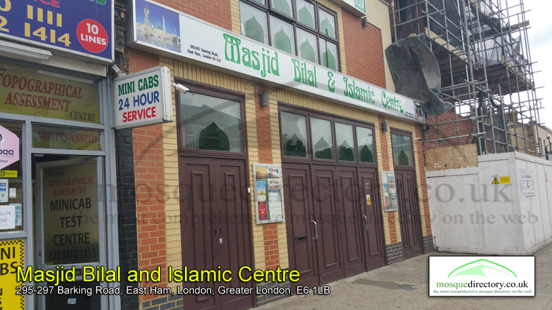
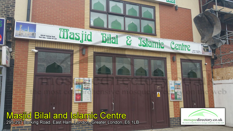
🕌 Masjid Bilal & Islamic Centre (East Ham, Newham)
📩 Address: 295-297 Barking Road, East Ham, London, Greater London, E6 1LB
☎️ Contact: 020 8471 9355, 020 8548 4390 🧕👨 Gender: Male (Only)
🏪 Type: Masjid/Mosque
📊 Data Accuracy: A - Excellent
📑 Additional Information
🔔 Following: Maudoodi
👨👨Management: Bangladeshi
📜 Other Names: Young Muslims (London), UKIM London East Ham Branch, Masjid Bilal
👨👩👧👦 Capacity: 300
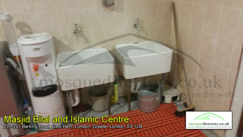
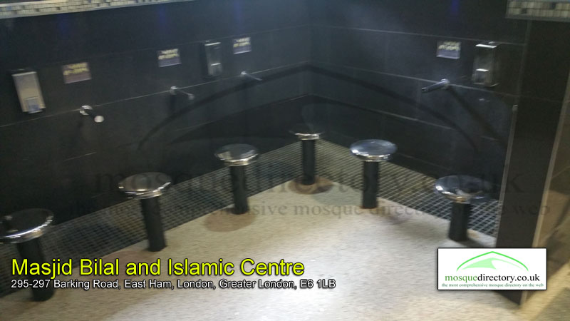
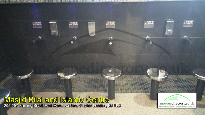
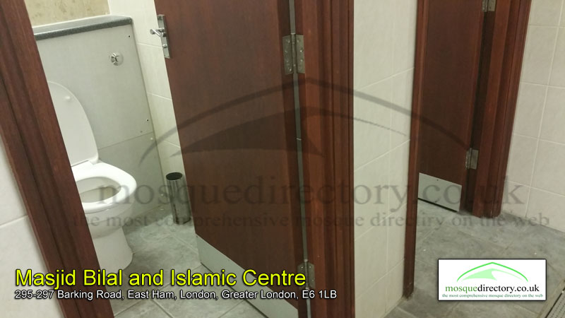
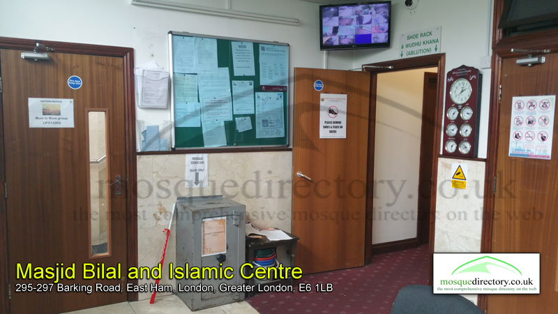
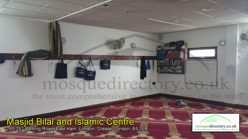
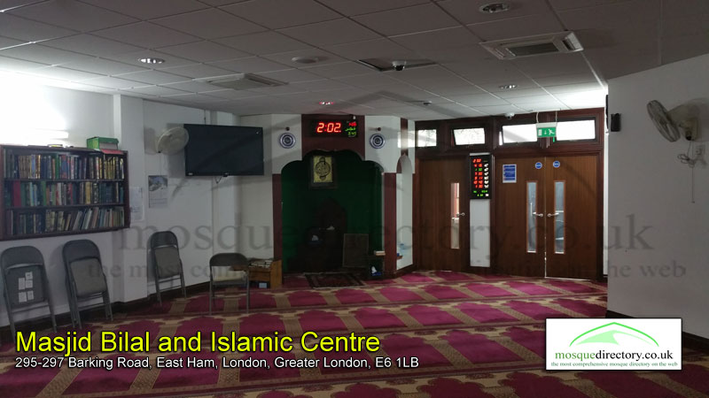
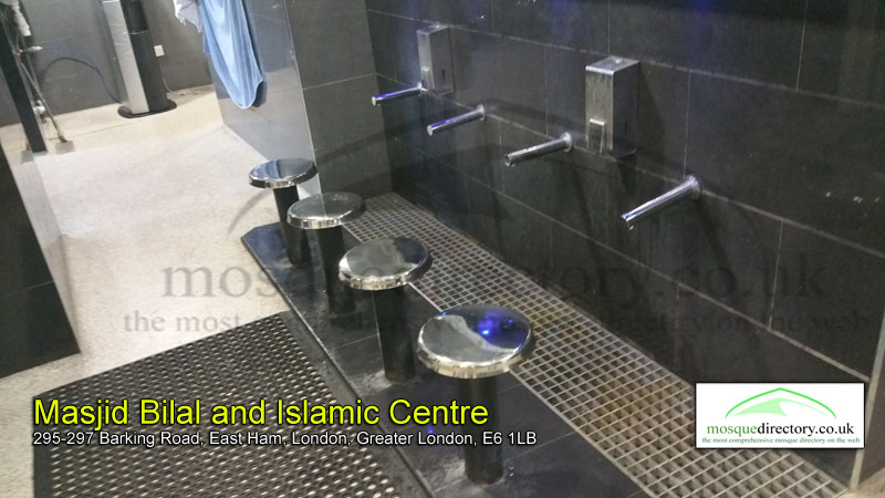
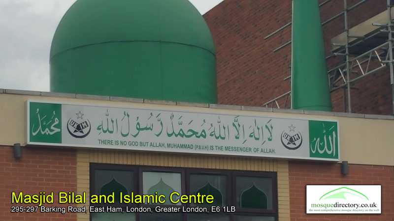
🖼️ Mosque Photo Gallery


⏰ Prayer Times
| Date | Fajr | Dhuhr | Asr | Maghrib | Isha |
|---|---|---|---|---|---|
| 25/07/26 | 03:10 AM | 01:06 PM | 05:21 PM | 08:59 PM | 11:02 PM |
| 26/07/26 | 03:11 AM | 01:06 PM | 05:20 PM | 08:57 PM | 11:02 PM |
| 27/07/26 | 03:11 AM | 01:06 PM | 05:19 PM | 08:56 PM | 11:01 PM |
| 28/07/26 | 03:12 AM | 01:06 PM | 05:19 PM | 08:54 PM | 11:00 PM |
| 29/07/26 | 03:13 AM | 01:06 PM | 05:18 PM | 08:53 PM | 10:59 PM |
| 30/07/26 | 03:13 AM | 01:06 PM | 05:18 PM | 08:51 PM | 10:58 PM |
| 31/07/26 | 03:14 AM | 01:06 PM | 05:17 PM | 08:49 PM | 10:58 PM |
| 01/08/26 | 03:16 AM | 01:06 PM | 05:16 PM | 08:48 PM | 10:55 PM |
| 02/08/26 | 03:18 AM | 01:06 PM | 05:16 PM | 08:46 PM | 10:52 PM |
| 03/08/26 | 03:21 AM | 01:06 PM | 05:15 PM | 08:44 PM | 10:49 PM |
🌦️ Current Weather
Location: East Ham, London, UK
Local Time: 2026-07-25 21:21

Weather: Clear
Temperature
24.3 ℃ (75.7 ℉)
Wind
11.9 mph (19.1 kph)
Degree: 280
Direction: W
Gust: 16.1 mph (25.9 kph)
Weather Report
Today on July 25, 2026, the temperature will be 24.3℃ (75.7℉). It will feel like 24.9℃ (76.8℉). The wind will be 11.9 mph (19.1 kph) and humidity will be 47%.
🌤️ 3-Day Forecast
| Date | Condition | Max Temp (℃/℉) | Min Temp (℃/℉) |
|---|---|---|---|
 2026-07-25 2026-07-25 | Sunny | 30.2 ℃ (86.4 ℉) | 17.1 ℃ (62.7 ℉) |
 2026-07-26 2026-07-26 | Partly Cloudy | 26.7 ℃ (80 ℉) | 16.9 ℃ (62.4 ℉) |
| 2026-07-27 | Sunny | 29.2 ℃ (84.6 ℉) | 14.7 ℃ (58.5 ℉) |
🚎 Nearby Transport Links with Timetables
Loading travel information, please wait...
👨💼 Local Parliamentary Information
| Display As: Sir Stephen Timms | List As: Timms, Sir Stephen |
| MP Name: Rt Hon Sir Stephen Timms MP | Gender: Male |
| Constituency: East Ham | Party Name: Labour |
| Website: http://www.stephentimms.org.uk | Mp parliamentary email: timmss@parliament.uk |
| Mp constituency email: stephen@stephentimms.org.uk | Mp parliamentary phone: 020 7219 4000 |
| Twitter: @https://twitter.com/stephenctimms | House Start Date: 1994-06-09 |
| Status: Current Member |